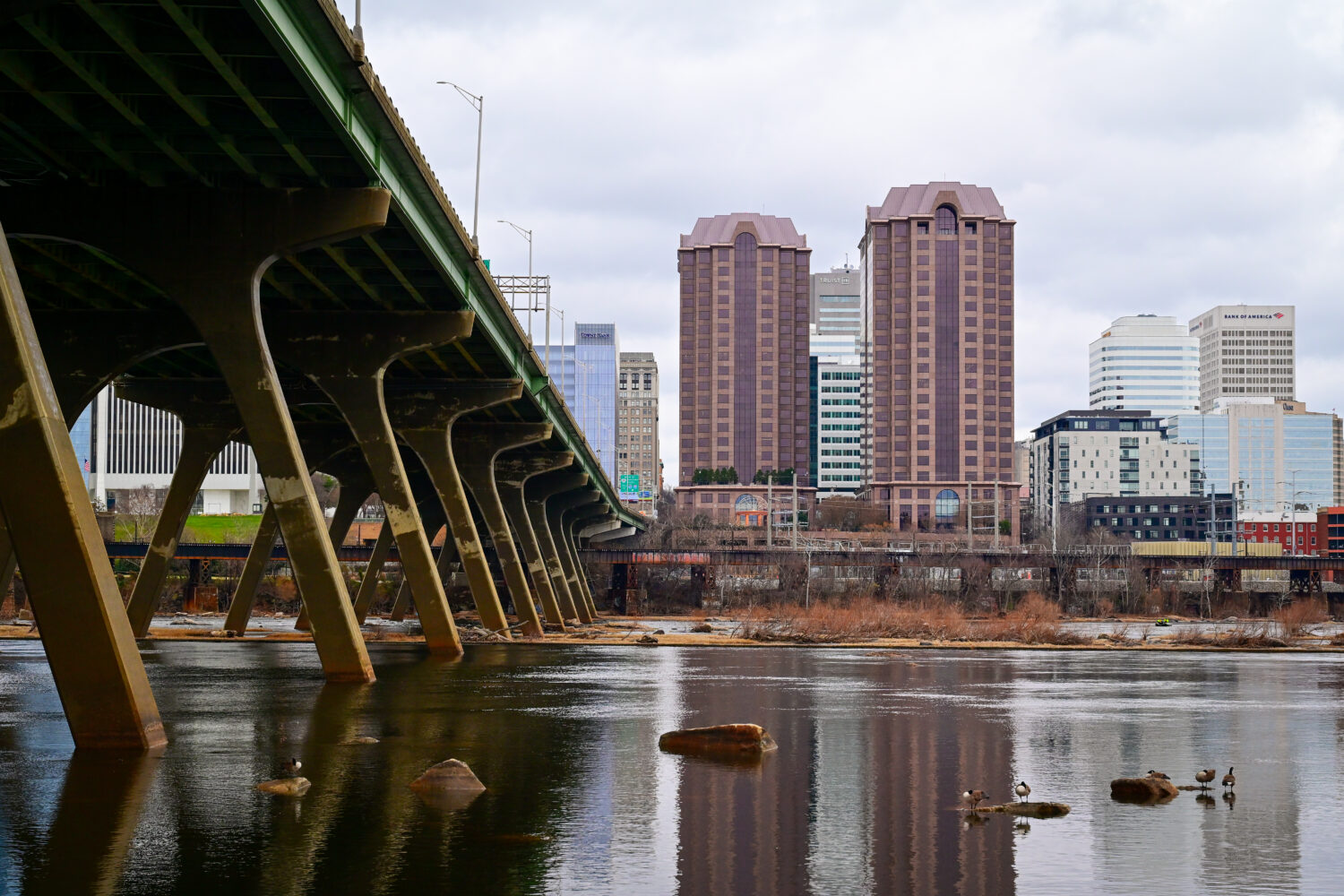
Tag: Richmond Skyline
Photos of the Richmond Virginia Skyline
2018 James River Flood Wall and Slave Trail Hike

Thanksgiving weekend we had a beautiful afternoon and Jess and I went exploring in the James River Park system. We started at the south end of the Potterfield Bridge, went east along the flood wall, then to the slave trail before backtracking to the Manchester Bridge and through part of the city back to Brown’s Island and the Potterfield Bridge back to the car. It was a long hike, but it was cool to see parts of the river we’ve not seen before. We were really surprised by all of the development east of The Boat House along the Capital Trail. We’ll have to do this again when the river level is lower and we can do the pipeline walk.


2017 OptOutside Hike
2016 James River Hike With Jess
Richmond’s New Tyler Potterfield Bridge

Last night in Richmond was the grand illumination and the opening of the new Tyler Potterfield Bridge connecting Brown’s Island to the Manchester Flood Wall on the other side of the river. I got out there first thing in the morning to check it out and ended up doing a loop over and around Bell Isle. It’s a nice bridge and it has many more incredible views of the city and the river.


Richmond Skyline at Night

Tried to go down to the Manchester flood wall to photograph the city during the grand illumination of the lights, but found the park blocked off due to construction and without enough time to find another way around – all I was able to get was one measly shot. At least it’s a pretty good one.
Richmond Skyline via Manchester Flood Wall Walk
I had seen pictures of Richmond from this vantage point for years and never knew how to get there. So today, despite the 33-degree weather and winds, I made my way to the Manchester Flood Wall and checked out the awesome vantage point of the city. Had it not been so cold, I probably would have explored a little more. I will definitely be back in warmer weather.


